DoCoMAP
GPS Vehicle Location Management System
*Click on the image to enlarge
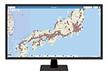
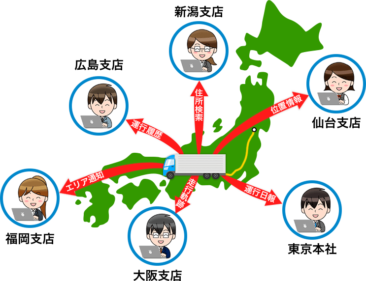
DoCoMAP is a location tracking service that displays and manages the location of vehicles on Google Maps, using information from GPS devices attached to vehicles. To use the service, simply attach the docomap GPS device and docomap Eye drive recorder to a vehicle. You can then access a dedicated webpage on your computer’s browser to easily see your vehicle’s location information.
In addition, using the "docomap VIEW" smartphone app, people from various industries such as welfare pick up services and sightseeing buses can also use the system.
Usage
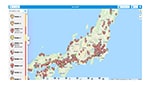
DoCoMAP has no limit on the number of IDs that can be used, so multiple locations and multiple people can log in to the system at the same time.
Main Features
Easy to use system
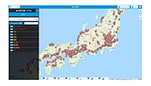
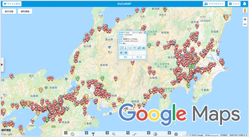
Use familiar Google Maps features directly on DoCoMAP such as traffic information and Street View. In addition, it is possible to display vehicle route together with a graph that shows vehicle speed and time, and very easily retrieve vehicle data history of up to a year.
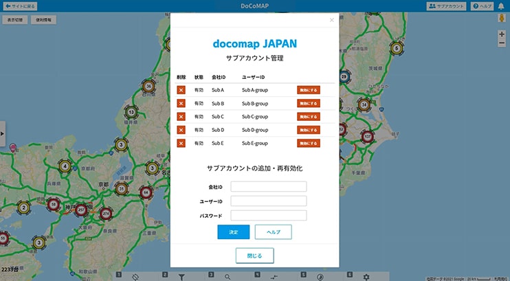
Sub-account feature
The sub-account feature allows for location tracking of vehicles of other partner companies. In order to use this feature, it is necessary to give a browsing ID to companies that would like to share their vehicle location data.
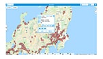
▲By registering the accounts of partner companies as sub-accounts, the vehicle location information of multiple companies can be displayed simultaneously on DoCoMAP.
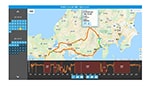
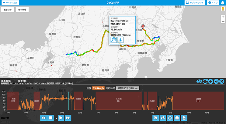
Check vehicle route
Check driving history of a vehicle by simply clicking the vehicle icon. Additionally, you can easily continuous driving time and rest time on the graph.
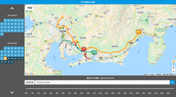
Compare routes of multiple vehicles
This function is useful for reviewing and optimizing delivery routes, and can display the routes of up to 5 vehicles.
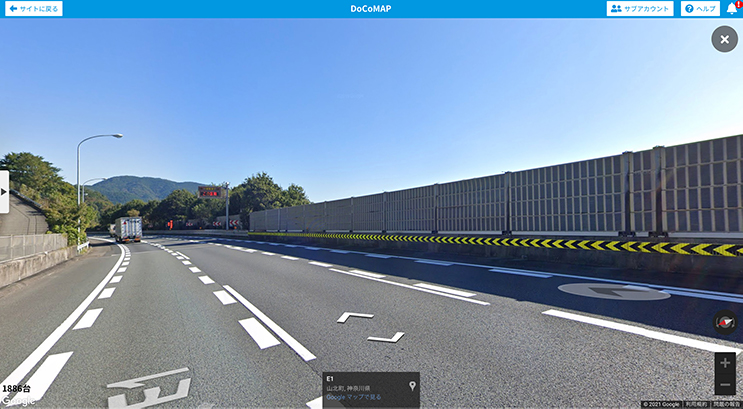
Street view
Get more information about the driver's location. Additionally, street view can be accessed from the vehicle's route.
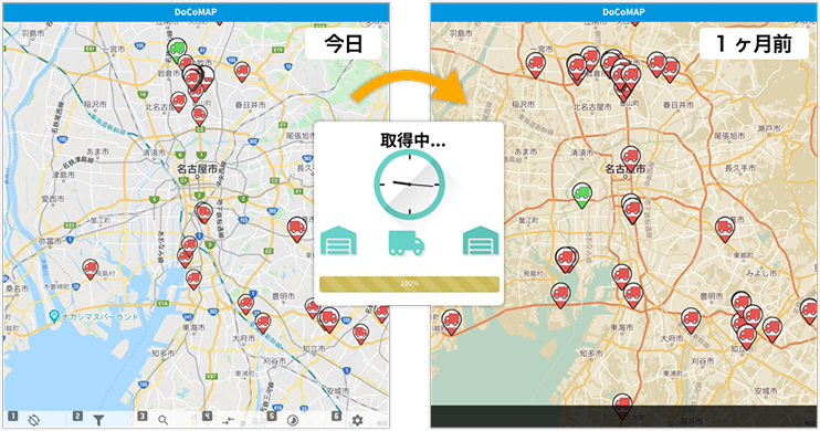
Time machine feature
Viewing past vehicle position information instantly allows for quick response to complaints
docomap JAPAN ・ Customer Support
03-6809-2105
Business hours 9:00 ~ 18:00 (Except weekends and holidays)